

Top Navigation Tools You Must Have for Safe and Exciting Volcano Hikes
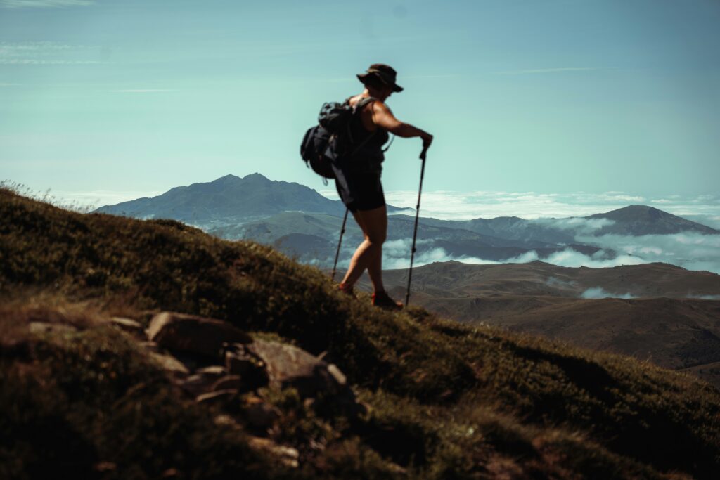
Volcano hikes offer an extraordinary adventure, bringing you close to some of the most powerful natural forces on Earth. These hikes provide stunning views, unique landscapes, and an exhilarating sense of achievement. However, they also come with their own set of challenges and dangers. To ensure a safe and enjoyable journey, it’s crucial to be equipped with the right navigation tools. Here’s a guide to the most important navigation tools for all types of volcano hikes.
1. Topographic Maps
Topographic maps are indispensable for any serious hike, especially on volcanoes. These maps show the terrain’s contours, indicating the steepness and elevation changes, which are vital for planning your route and understanding the landscape.
Why you need them:
- They help you visualize the terrain and plan your hike accordingly.
- You can identify key landmarks, such as peaks, ridges, and valleys.
- They show trails and paths, which can help you avoid dangerous areas.
Tips:
- Get a recent map of the area, as volcanic landscapes can change rapidly.
How to Use Them: Learn to read contour lines, which indicate the steepness of the terrain. The closer the lines are together, the steeper the incline.
2. GPS Device
A GPS device is a game-changer for modern hikers. It provides real-time information about your location, helping you stay on track and find your way even in poor visibility.
Why you need it:
- Accurate positioning can prevent you from getting lost.
- Many GPS devices come with preloaded maps and can track your route.
- They work in most weather conditions, unlike some other tools.
Tips:
- Ensure your GPS is fully charged and bring extra batteries.
- Familiarize yourself with how to use it before your hike.
3. Compass and Map
Even with advanced technology, a traditional compass and map are essential backup tools. They don’t rely on batteries or signals, making them reliable in any situation.
Why you need them:
- They provide a fail-safe navigation method if your GPS device fails.
- Understanding how to use a compass with a map enhances your navigation skills.
- They help you orient yourself and make informed decisions about your route.
Tips:
- Practice using a compass and map before heading out.
- Keep them in a waterproof case to protect them from the elements.
How to Use It: Practice taking bearings and orienting your map with your compass. This skill is vital for navigating when visibility is low or landmarks are scarce.
4. Altimeter
An altimeter measures your altitude, which is particularly useful on volcano hikes where elevation changes can be dramatic and frequent.
Why you need it:
- Helps you keep track of your elevation gain and loss.
- Useful for identifying your location on a topographic map.
- Can assist in assessing the steepness of your climb and descent.
Tips:
- Many modern altimeters are integrated into watches, making them easy to carry and use.
- Regularly calibrate your altimeter for the most accurate readings.
How to Use It: Altimeters can be standalone devices or integrated into GPS units and smartwatches. Regularly check your altitude against your map to verify your location.
5. Trail Guidebooks
Guidebooks specific to volcano hikes offer detailed descriptions of trails, including distances, difficulty levels, and important landmarks. They often include maps and tips from experienced hikers.
Why you need them:
- They provide valuable insights and detailed route descriptions.
- Offer practical tips for specific trails, such as water sources and rest spots.
- Highlight hazards and precautions unique to each hike.
Tips:
- Choose a guidebook that’s up-to-date, as trail conditions can change.
- Use the guidebook alongside your map for the best experience.
How to Use Them: Consult guidebooks for planning and refer to them during your hike. Always ask locals or rangers for updates before setting out.
6. Smartphone with Navigation Apps
Smartphones equipped with navigation apps like Gaia GPS, AllTrails, and Google Maps can be incredibly useful. These apps provide access to detailed maps, track your hike, and offer route planning tools.
Why you need it:
- Easy to use and familiar to most people.
- Many apps offer offline map downloads, essential for areas without cell service.
- Can track your progress and share your location with others for safety.
Tips:
- Download maps and routes before your hike to ensure you have access offline.
- Bring a portable charger to keep your phone powered up.
How to Use Them: Download your chosen apps and offline maps before heading out. Apps like AllTrails, Gaia GPS, and Avenza Maps are popular among hikers.
7. Emergency Locator Beacon (ELB)
An Emergency Locator Beacon or a Personal Locator Beacon (PLB) is a critical safety tool for any remote hike. In case of an emergency, it can send a distress signal to rescue services.
Why you need it:
- Provides peace of mind knowing you can call for help in an emergency.
- Works in areas without cell service.
- Can be a lifesaver in case of injury or getting lost.
Tips:
- Register your beacon with the appropriate authorities before your trip.
- Only use it in true emergencies, as false alarms can waste valuable resources.
8. Weather Forecast Tools
Knowing the weather forecast is crucial when hiking near or on a volcano, as conditions can change rapidly and dramatically.
Why you need it:
- Helps you prepare for adverse weather conditions.
- Allows you to adjust your plans to avoid dangerous situations like storms or volcanic activity.
- Provides information on temperature, wind speed, and precipitation.
Tips:
- Check the forecast regularly in the days leading up to your hike.
- Use multiple sources for the most accurate information.
9. Headlamp or Flashlight
A headlamp or flashlight is essential for navigating in low light or if your hike takes longer than expected. It’s also crucial for emergency situations.
Why you need it:
- Provides visibility in the dark, making it easier to follow trails.
- Essential for reading maps or GPS devices at night.
- Aids in signaling for help if needed.
Tips:
- Carry extra batteries or a backup light source.
- Choose a waterproof and durable model.
10. Trail Markers and Signs
While not exactly the tools you carry, trail markers and signs are essential navigation aids found on many volcano hiking trails. They provide important information and help you stay on the correct path.
Why you need it:
- They offer reassurance that you’re on the right track and provide directions at critical junctions.
Tips:
- Always pay attention to trail markers and signs. If you don’t see them for a while, double-check your position.
Final Tips for Volcano Hikes
- Preparation is Key: Before embarking on a volcano hike, thoroughly plan your route and ensure you have all the necessary navigation tools.
- Practice Your Skills: Familiarize yourself with how to use each tool. Practice using a map and compass, and ensure you’re comfortable with your GPS device.
- Stay Informed: Keep updated with any advisories or warnings about the volcano you’re hiking. Conditions can change rapidly, and it’s crucial to be aware of any potential hazards.
- Pack Wisely: In addition to your navigation tools, ensure you have adequate supplies, including food, water, and first-aid items.
Conclusion
Volcano hikes can be incredibly rewarding but come with unique challenges. Proper navigation tools are essential for safety and enjoyment. Whether you’re relying on traditional tools like maps and compasses, modern GPS devices, or emergency beacons, being well-prepared will ensure a successful adventure. Always remember to plan ahead, check the weather, and stay aware of your surroundings. Happy hiking!
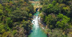
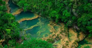
If you’re looking for guided tours of famous volcano hikes in Guatemala, feel free to reach out to Tropicana. They offer tour packages for volcano tours and provide some of the most important navigation tools mentioned for your hike.
 Previous Post
 Next Post